Robert helms Escapade out early. I have a big day ahead navigating. Today we enter Bass Strait. We plan to sail up the Tasmanian Coast from Point Eddystone to Musselroe Bay hugging the coastline (the scenic route). Then we plan to cross the notorious Banks Strait, the narrow tidal passage between Tasmania and Cape Barren Island in the Ferneaux Group. We then plan to sail through the Franklin Passage into Lady Barron, a harbor at the southern end of Flinders Island. There is no wind to start with so we motor along. I am nervously running up and down the companionway checking the charts against our position to navigate the narrow passage between the coast and the numerous shoals, reefs and islets. Some, like the George Rocks and Black Reef are visible, but plenty, like Lipstick Rock and Leprena Rocks are not. Leprena rock is ominously named after a schooner that struck her and sunk in the 1920s. We pass it with only a few meters to spare. Whilst our boat speed is around 5 knots, our speed over ground is around 6.5. We are being helped along by the tide, we are being sucked into Bass Strait.
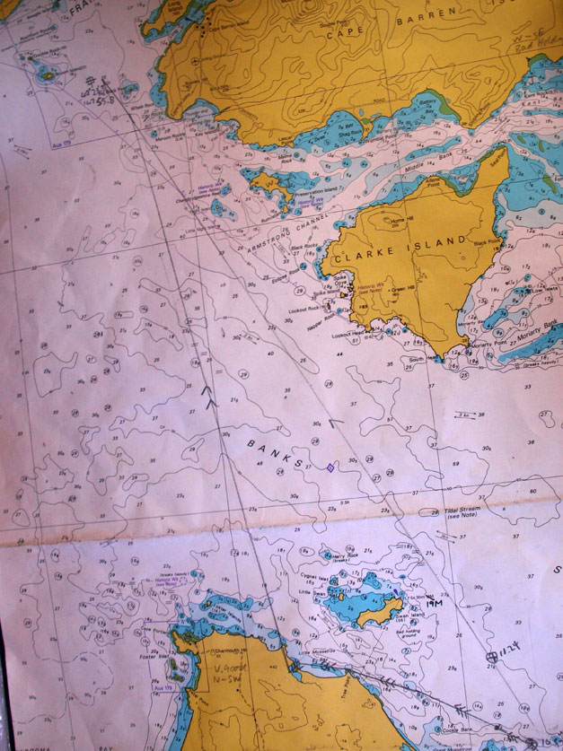
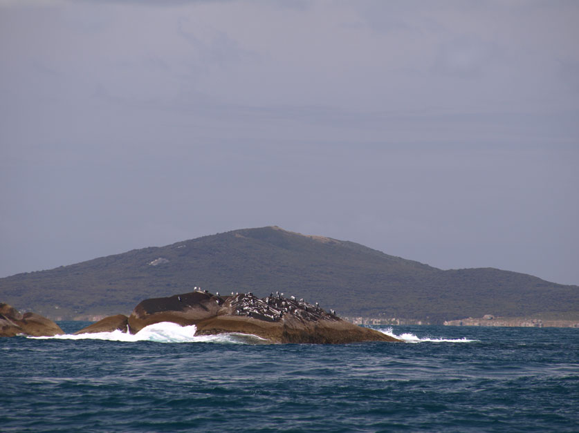
The tide in Bass Strait floods in a westerly direction from the Tasman Sea and ebbs to the east. In Banks Strait the tidal current runs at around 3 knots. It is running in our favour. Felicity and I are busy preparing a course to steer. Using the tidal diamonds on the chart we are able to calculate the flow rates and times, and therefore estimate how the tide is going to effect our heading. We calculate that although the direction we wish to travel is 320 degrees, we are going to have to sail on a heading of 337 degrees and allow the tide to do the rest. At 10.52 we change course. In the distance I can make out the hills on Clarke Island and Cape Barren Island. The wind has picked up and we have turned the motor off. The boat speed is now 6 knots, but we are hurtling along at 9.5 knots thanks to the tide. The tidal stream is causing the water to eddy, and we sail close to a series of overfalls.
The map above shows our planned course to steer. The line with the three arrows at the base so our estimated tidal flow. The right hand line with one arrow is our rhumb line, our expected course over the ground, and the left hand line with the two arrows is the heading we must steer. This photo was taken at 11.30, and we are dead on course, which continued for the duration of the passage. And for the pedants amongst you, we did consult the compass deviation card, and as the compass has been recently swung the deviation is less than one degree so we considered that negligible. A modern cruise ship floats past us, and a curious converstion sparks up on the VHF. A nervous sounding fisherman at anchor is trying to contact the cruise ship, we assume the ship is bearing down on him.
By 1.30, I can see Preservation Island and Rum Island off our starboard beam. This was the site of the wreck of the merchant vessel Sydney Cove in 1797, which pre-dated the discovery of Bass Strait by George Bass and Matthew Flinders in 1798! She sailed from Calcutta with stores and a large stock of rum bound for the settlement at Port Jackson, but heavy weather saw the bilge water overtaking those pumping it, and the ships master decided to run her ashore on what was to be named Preservation Island. The stock of rum was stored on nearby Rum Island, safely out of the way of the thirsty crew. In May, seventeen of the crew set out in the ships longboat to reach Port Jackson – 400 nautical miles away, but the boat was wrecked on the ninety mile beach in Gippsland. They commenced walking along the coast. Suffering starvation, exhaustion and attacks from Aboriginals, three survivors miraculously staggered into Wattermolla, and a fishing boat brought them to Port Jackson. The journey had taken them three months.
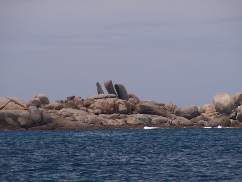
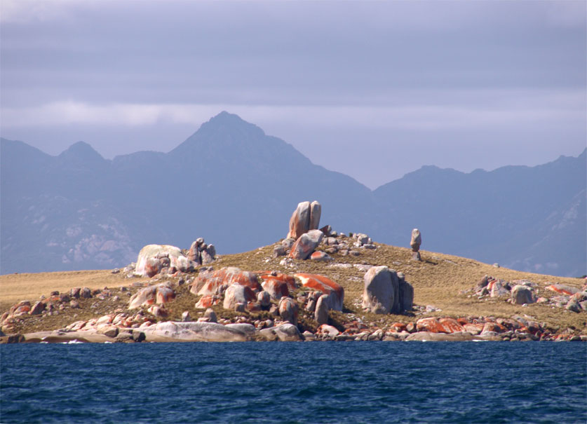
Our bow is pointing disconcertingly straight at the breakers and rocks of Night Island, which is only 100 meters ahead, but the tidal flow safely drags us sideways, and we round Cape Sir John and enter Franklin Sound at high water. Confidence in our navigation skills was rewarded, the ebb will suck us back to the east towards our destination, Lady Barron, but alas dear reader I have no time to admire the scenery, just enough to grab a shot of the boulders on Long Island, which look akin to the statues on Easter Island.
Robert wants a pilotage plan in to Lady Barron. The whole area is a maze of rocks, sandbars and tidal streams, and the plan involves picking up indistinct leads, and numerous course changes. Calculating distance run is all the more difficult because the log is inaccurate due to the tidal movement. Robert knows the way in, but lets me do the plan as an invaluable exercise, which it certainly was, and aside from missing a marker and almost running us on to a sandbank, we make it in. The final run into port involves following a set of leads until the boat is just meters from rocks, and then swinging hard to port and into the harbor.
The harbormaster is away in Launceston, but suggests we take a mooring buoy in the middle of the harbor. We raft up next to a barge at the jetty, and head to the Ferneaux Tavern for a shower and dinner. I order the wallaby with plum sauce, which was excellent, washed down with a passable pinot from the local Unavale Winery. (Their Riesling and sav blanc are excellent). The night ends at the bar with a bunch of rowdy locals and holiday makers that have been at the winery all afternoon for their annual Music in the Vines festival.


